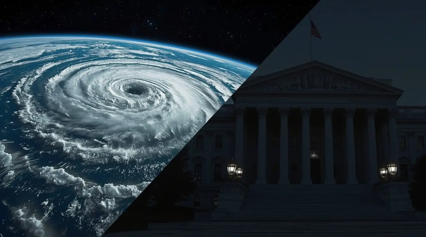
With summer coming to an end, meteorologists are already focused on winter, and something important is coming into view: a significant climate pattern, La Niña Winter, which may make an appearance. Based on the most recent projections from NOAA, the chances for La Niña to “develop” between September and November are at 53%, increasing to 58% by the end of the year. This has led NOAA to officially issue a La Niña Watch.
Your winter plans could be influenced by this. Let’s discuss the possible effects, region by region.
What is La Niña Winter?
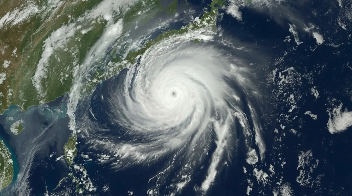
La Niña Winter is a natural climate pattern that cools the sea surface temperatures of the central and eastern equatorial Pacific ocean in the “Pacific basin” and is opposite to the “El Niño” phenomenon that warms Pacific waters. La Niña, as well as El Niño, are phases of the “El Niño-Southern Oscillation (ENSO)” cycle which has a profound impact on winter-seasonal weather in the Northern Hemisphere.

Why This La Niña is Unique
The upcoming La Niña Winter is projected to be smaller in scale and duration compared to previous La Niña’s. To illustrate further, the 2024-2025 La Niña Winter episode was so short that it would not qualify to be categorized as a proper event in the historical record. The upcoming La Niña also seems to be following the same pattern where it could potentially form in the fall and dissipate by early spring.
This is critical as the stronger La Niña Winter episodes are known to create a co dominant seasonal weather pattern. Weaker versions, however, allow for a greater number of other climate factors to come into play, resulting in a greater level of weather volatility.
The Winter Forecast: Regional Breakdown
Precipitation Forecast
Drier South: Unquestionably, the southern U.S. is likely to be drier with the southernmost reaches of Arizona, New Mexico and Texas witnessing below-average rainfall. This is a classic La Niña winter as it results in a northward jet stream shift that decreases southern U.S. precipitation.
Wetter North: Opposingly, the northern U.S. is likely to experience wetter weather, especially in the Pacific Northwest and the north central region where precipitation is expected to exceed the average. However, greater precipitation does not automatically translate to increased snow. Temperature conditions will have a greater say in the outcome.
Temperature Outlook
Hotter Southeast: We know the southern U.S. usually tends to be warmer during a La Niña winter. This year is quite relevant to the current forecasts. There is a stronger than usual probability of warmer than average temperatures from California all the way to the Carolinas.
Colder Northwest: The only region who appears to be favored for consistently cooler than normal temperatures is the Pacific Northwest. This is a typical characteristic of La Niña winters.
The Wild Cards: The rest of the country, which includes the Northeast and all of Midwest, faces a more uncertain forecast. The weak La Niña signal is in competition with global warming. The winter is the fastest warming season for 75% of the US, which is likely to override the cooling La Niña typically brings.
The Snow Lover’s Dilemma
The burning question for many is whether the winter season will be snowy. The answer is complex.
During weak La Niña events, the Northeast often experiences heavy snowfall. However, the winter temperature forecast for the region shows a strong likelihood of above-average warmth. This regionally creates a balance between potential for increased la-nina-storms-bbb (due to La Niña) and the potential for those storms to miss the Northeast’s snow mark if temperatures are too high. As such, snow lovers in the Northeast must lower their expectations for the timeless winter landscape.
The Bigger Picture – Cimate Change’s Impact
Climate change is, without a doubt, the elephant in the room when discussing seasonal forecasting. The world is simply not the same since changes in the temperature increased. Winters have become the fastest warming season, snow cover is on the decrease, and, for the most part, a change for the worse across the globe has commenced.

The nation’s latest flash summer floods vividly display how the natural balance of nature is straining; the floods are a telltale result of the improved and extremely charged temperature in the region. All of this connects to the principal idea that La Niña winters have the potential of shifting their major precipitation to snow if the air in the atmosphere is cool enough.
Looking Ahead
The Climate Prediction Center (CPC) revises its seasonal forecasts each month. This makes it unnecessary to speculate on this specific winter forecast so far in advance. The possible formation of La Niña Winter is interesting in this regard, but it is not definitive. As Michelle L’Heureux of CPC said, La Niña is a primary impetus for seasonal precipitation distribution, but these forecasts also consider more powerful trends, and the most powerful long-term trend is that the Earth is warming.
In this case, it seems that the developing La Niña will most likely influence the winter forecast, but because of its weaker strength, together with the dominating force of climate warming, Americans can expect more and more unpredictable weather. Please check NOAA and CPC’s monthly reports for updates on this La Niña Winter event and how it will develop.
Source: https://edition.cnn.com/2025/08/27/weather/la-nina-winter-forecast-climate
For more news updates, visit our home page.